$29.95Original price was: $29.95.$22.45Current price is: $22.45.
The only complete printed railroad traffic atlas available. In 92 detailed pages you get all rail lines, traffic density on each line, crew change points, helper districts, tonnage estimates between points and trackage rights over each line. Traffic density for the entire US rail system.
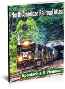
106 maps covering West Virginia, Kentucky, Virginia, Tennessee and North Carolina. 100 pages. 2004. Reprinted with the cooperation of author Mike Walker. Larger edition.
104 pages. Over 80 maps, including detail maps. Comprehensive index. Updated 2009. Reprinted with permission. New larger format. 9×12 size allows for larger maps, clearer text.
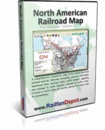
See the entire North American railroad system in an interactive way that no wall map can provide. Mouse over or click on a track segment and you’ll find information including owner, mileage, traffic density, type of signaling and more.
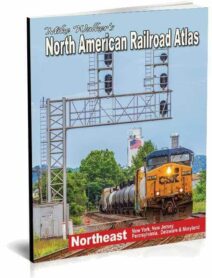
150 pages. Over 100 maps covering the Northeast (NY, PA, NJ, MD, DE), including more than 60 detail maps. Now covers transit lines. 45 page index plus 3 page NYC Transit Index.